Description
Overview
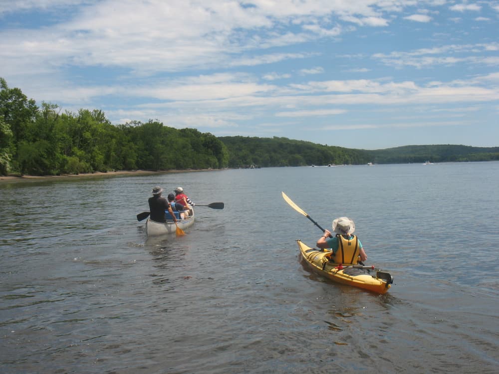
New England's longest waterway, the Connecticut River, provides over four hundred miles of canoe and kayak exploration. The Connecticut River Paddlers' Trail (CRPT) is a series of primitive campsites and river access points spanning from the headwaters in northern New Hampshire south to Long Island Sound. While most of the river shore is privately owned, a number of generous landowners have agreed to host the public at primitive campsites on their land. For an interactive map, a list of access points and campsites, hardcopy maps and more details, visit the Connecticut River Paddler's Trail website, or download the CRPT smartphone app from FarOut Guide.
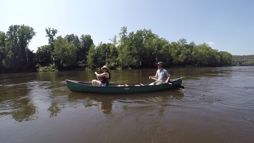
Connecticut Section
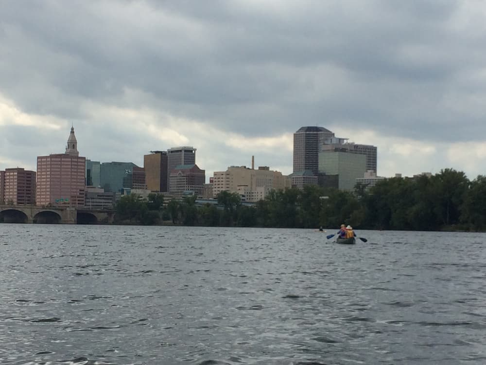
The Connecticut section starts at the Massachusetts border. In Enfield, the remains of an old, breached dam and shallow Class I rapids can be a challenge for paddlers. Experienced boaters may be able to navigate the rapids on river left. Those seeking to portage should land on river right (just below the Route 190 bridge) and follow an informal trail up to the paved Windsor Locks Canal Trail. Follow this trail 0.17 miles before crossing a foot bridge over the canal. Walk south to find a suitable launching point. Note that there are no signs along the route.
Please be aware that the tides in Long Island Sound influence the Connecticut River current all the way up to Hartford. Consult NOAA's Tide Predictions website with stations along the Connecticut River for time tables, and the national Weather Service's Northeast River Forecast Center for flood levels.
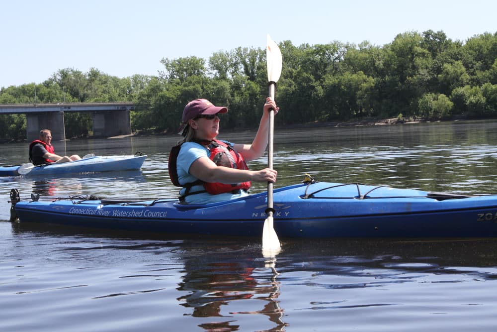
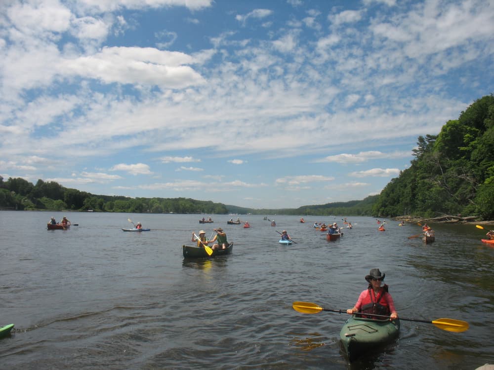
Please be prepared for heavy boat traffic in the main channel on summer weekends.
Recommended Trips
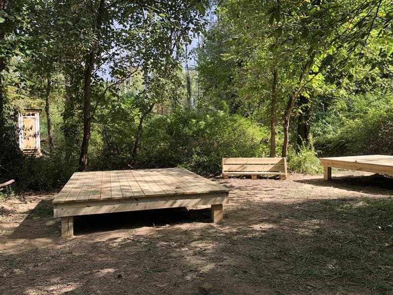
For the lower Connecticut River, the Hurd State Park Overnight (Middletown to Gillette Castle) and the Seldon Neck Overnight (Seldon Neck State Park area) are suitable for 2-3 day paddle trips. Camp sites in CT State Parks need to be reserved in advance via ReserveAmerica.
History
In the early 1990s, the Upper Valley Land Trust was instrumental in establishing formal river campsites in Vermont and New Hampshire. Since their initial effort, many others have developed additional campsites and completed access improvement projects in the upper watershed. The Friends of the Connecticut River Paddlers' Trail, a collaborative of partner organizations and community members formed in 2009 to work together in trail planning and development, building and maintaining campsites, improving access points and portage trails, and disseminating information to visitors. Since 2023, the work to steward and expand the Connecticut River Paddlers’ Trail is coordinated by the Connecticut River Conservancy.
For Your Safety
- Carry a map of the river. Know the location of dams and other hazards.
- Use Personal Flotation Devices. PFDs save lives! Each boat must carry an approved personal life jacket for each person. State law requires children 12 years and younger to wear PFDs at all times.
- Be prepared for cold water. Wear a life jacket, stay fueled and hydrated, avoid cotton clothing, pack extra layers in a dry bag, and know the symptoms and treatment for hypothermia.
- Always secure your boat. Don't simply "beach" it. River flows are affected by operations at dams, and water levels can fluctuate several feet without warning!
- Be careful near dams. Buoys may not be present early or late in the season. Be aware of strong and changing currents.
- Watch for poison ivy which is particularly prevalent along the river in Massachusetts and Connecticut. Avoid contact and use products like Technu to wash.
- Don't drink untreated river water. Bring your own water or plan to filter or boil river water before use.
- In an emergency, call 911.
- Cell coverage is not reliable. Do not let your life depend upon a cell phone for emergency use.
Find the Official Connecticut Boating Guide on the CT DEEP website.
Other Information
The length of the river from the Massachusetts border to the Long Island Sound is about 68 miles. This post includes select trails along tributaries for a total length of 83 miles.
River Etiquette
The Connecticut River is a rich ecological and recreational resource bordered by working farms and forest lands. The majority of the campsites established along the Connecticut River are made possible through the generosity of private landowners, and the future of the Paddlers' Trail depends on good river etiquette and campsite stewardship. Before heading out on the water, review the trail’s paddler etiquette guidelines posted on the website and at many of the campsites. If you witness users disrespectful of these guidelines, please contact the appropriate site steward. Thank you!
- On the water
- share the river
- respect wildlife
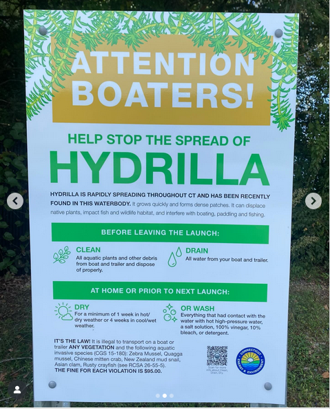
- prevent the spread of invasive species
- At campsites
- access campsites from the river only
- limit each stay to no more than two nights per site
- respect the landowner’s property and crops by staying within the designated campsite areas
- note the campsite’s capacity - if the campsite is full and you must find another place to camp for the night, request permission from the landowner
- do not use metal stakes when camping near farmers' fields
- consider making a donation for annual maintenance
- be mindful of campsite closures - most campsites are only open from mid May to mid October, others may be closed due to maintenance or due to abuse from users
- Leave No Trace
- leave each campsite in better shape than you found it
- stay within the designated campsite area
- respect the landowner’s property and crops
- be careful where you walk
- prevent erosion and beware of poison ivy and stinging nettles
- use a portable stove for cooking
- dispose of human waste properly; if no privy is available, bury human waste at least 200 feet away from the water
- all washing should be done at least 75 feet from the river
- sshhhh... noise carries easily on the river so please allow others to share the solitude
Trail Manager
Reach out to the Connecticut River Conservancy for general inquiries, map orders or app questions using the contact information below.