From Trailhead 2 on Overbrook Road, the trail immediately turns right. The forest here was once farmland and has some old stone walls on the right. Old fields have reverted to forests whose composition is determined in large part by available soil moisture. Large tulip-poplar trees are common in the moist forest first encountered. Note the thicket created by the viney growths of poison ivy, bittersweet, greenbriar, honeysuckle, multiflora rose and grape. While many of these plants are invasive exotics, the thicket does provide great cover for birds.
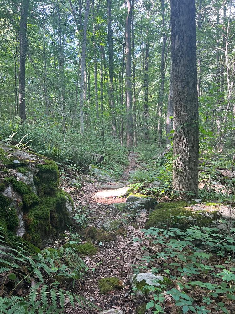
The trail continues west through an area that drains this side of the forest, and then gradually ascend into the forest dominated by birch, oak and hickory. At this point on the trail, the path splits. The right fork goes west and eventually loops back to join the other. Note the scattering of rocks, reminders that glaciers once moved across our region. At the top of the rise, where the trail bends sharply left, the soil is thinner and drier. Drought-tolerant chestnut oaks, with their deeply fissured bark, are common here.
Follow the trail to where the “cross-over” trail enters on the left. The trail straight ahead (east) follows an old woods road about 500 feet before turning southward to join the trail along the State Forest/Madison Land Conservation Trust (MLCT) boundary near the southeast corner of the State Forest. The trail turns right and proceeds south. Note the many dogwoods that are dead or in poor condition. Dogwood anthracnose disease, caused by a fungus believed to have originated in Asia, appeared first in the late 1970s and nearly eliminated understory dogwoods in Connecticut and elsewhere.
The trail continues to where stone walls mark the corner of four former fields or pastures. Here, the trail turns either left, following the State Forest boundary east, or passes through the walls onto MLCT land. The ‘eastern’ trail joins the longer, western loop later. Passing through the stone walls, leads to a trail that winds over the slight rise and then down to an overlook. At this point, the trail either to turns sharp left (east) along the overlook, or descends the steep bank to the pond.
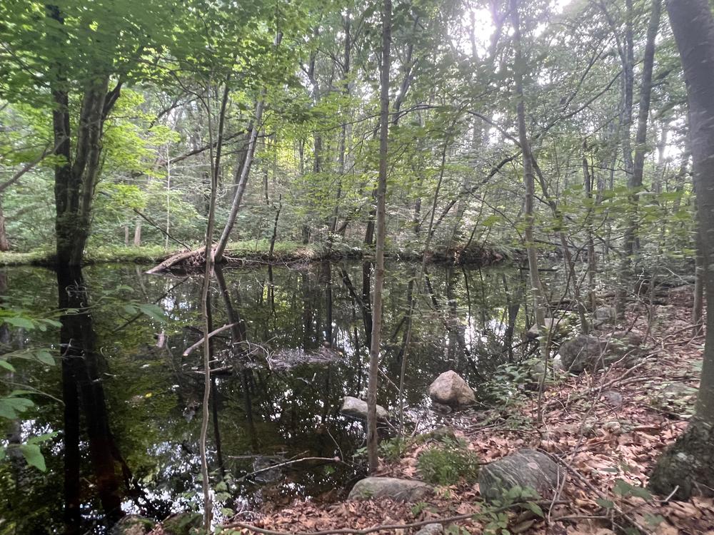
The trail descends down the side of the pond and bears left along the old road. A short walk on the trail permits close views of aquatic life along the south side of this beautiful pond, excellent breeding habitat for salamanders and frogs. It drains into an extensive wetland to the south.
The trail continues eastward from the pond along the old road bordering the wetland. In spring, a yellow haze of spice bush flowers overtops bright green masses of skunk cabbage. In the fall, witch hazel flowers create a similar effect. Where the trail diverges temporarily from the wetland, the “overlook” trail joins from the left. Note the many rocky “stream tracks” leading down from the high ground to the north. Centuries of water-flow have washed away the soil, exposing rocks whose rounded shapes reflect the grinding by glaciers 10 millenia ago. Along the way, near laurel thickets, the path is crossed by several ‘seeps,’ one of which is fed by an active spring nearby.
Where the trail turns northward (left), the trail along the State Forest boundary heads left, .25 mile back to the “four-fields corner.”
The trail continues across a small stream and then sharply north close to the eastern State Forest border, marked by stone walls. The trail bends right and then left, marking the short spur trail to Trailhead 1 on Colonial Road. The hike can end here or can be continued the short distance to Trailhead 2. The path between the trailheads passes by a wetland to the west and, once again, through a stand of large tulip poplar.

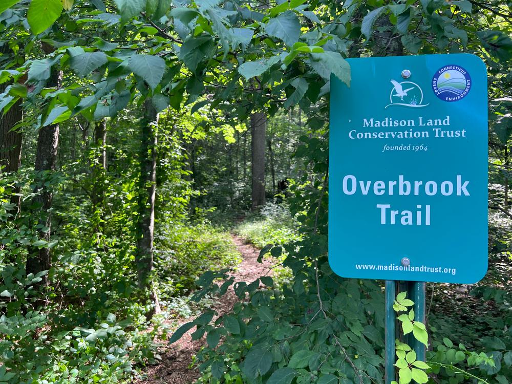
The trails can be located at 81 Overbrook Road off of Durham Road (Route 79). Parking is available near the trailheads on Colonial Drive and Overbrook Road.
Success! A new password has been emailed to you.