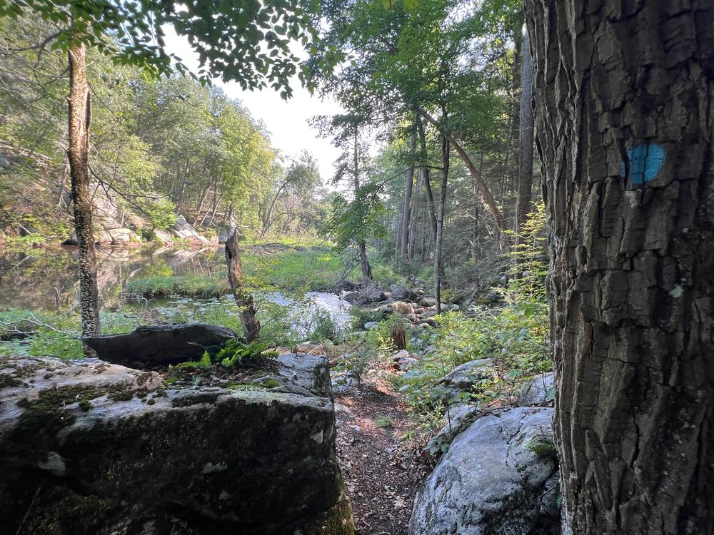
The Bailey Trail system follows the west bank of the Hammonasset River and, because of its length, can be walked in sections.
The Bailey Trail North includes a gentle 0.6 mile walk along the Hammonasset River from Route 80 south to the Georgetown Circle cul-de-sac. The first part of the trail accesses an area where water once tumbled over Ninevah Falls providing power for local industries. Remnants of the former saw and corn mills are visible. The flood plain, especially above Georgetown Circle, can be impassable in high water periods.
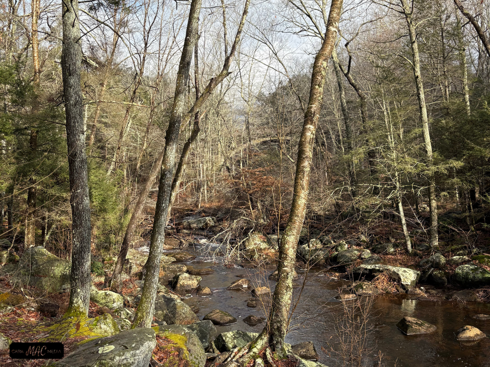
The Bailey Trail South (starts at the Georgetown cul-de-sac and heads south) is an easy walk that closely follows the river to Summer Hill Road just north of Chestnut Hill Road. The trail highlights beautiful stretches of river with alternating large quiet pools and a long series of rapids. A special feature is a historic lumber mill site with remains of its dam and flume. Along the hike, small islands create divisions in the river resulting in the appearance of smaller streams. The trail crosses several stone walls and passes through hardwood and hemlock forests.
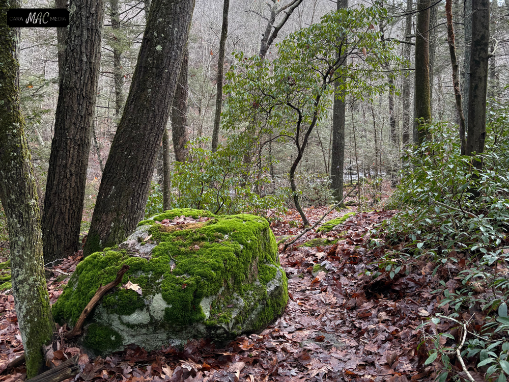
The 0.4 mile Cider Mill Spur is midway down the south section of trail and has a trailhead on Concord Drive. The trail passes through a forest of beech, red maple, ash, tulip-poplar, and black and yellow birch. When the trail passes through stone walls, turn sharply left to move closer to the brook and connect back to the main trail.
Near the waterfall along the Bailey Trail South, sawmill remains (circa 1720) can be seen on the west bank of the Hammonasset River. The trail runs directly between the mill and the River. Steps descend and rise on either side of the channel where water exited the mill. A walled area 9 feet deep may have been the area for the saw, while above the mill, a flume or raceway, runs 160 feet north to the dam ruins.

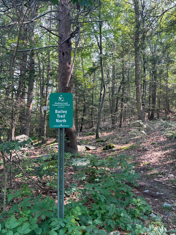
The northernmost part of this trail is reached by the trailhead on Old Toll Road (Route 80).
The section of the trail above Georgetown Circle might be impassable when flooded. To reach the middle section of this trail, take Summer Hill Road from the north off of Route 80 and follow Heatherwood Drive to Georgetown Circle or Concord Drive.
Access the southernmost section of the trail from the south on Summer Hill Road near Chestnut Hill Road.
Success! A new password has been emailed to you.