Trailside Services are now part of CT Trail Finder!

Shelter Falls Park

Shelter Falls is a 75-acre wooded park connecting to trails in UConn's Hillside Environmental Education Park Trails and North Eagleville Forest Tract.
Trail Activity
Accessible Experience Hiking Walking Cross-country skiing Paddling
Length
0.5 miles, One Way
Difficulty
Easy
Town
Mansfield
Surface
Packed Earth/Dirt, Rock/Ledge, Paved/Cement
Pets
Permitted on leash
Fees
No

Description

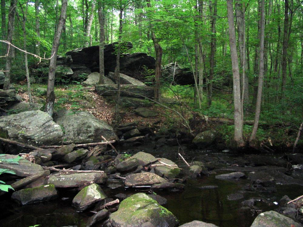
Shelter Falls is a 75-acre wooded tract containing both Nelson brook and Cedar Swamp Brook. A section of Cedar Swamp Brook becomes a waterfall near a sheltering rock formation; hence the name Shelter Rock. Trails continue south to UConn's North Eagleville Forest Tract and Hillside Environmental Education Park.

North of Birch Road, is a 48-acre parcel owned by the Connecticut Department of Energy and Environmental Protection (CT DEEP) and leased to the Town. This parcel is also wooded and contains trails along Nelson Brook. The paved portion of the trail has a 6-foot width.

Other Information

Rules

  • Enjoy the park from dawn to dusk.
  • Mountain biking and swimming are not permitted.
  • Keep pets on a leash and clean up after them.
  • Respect private property rights.
  • Stay on the trails. Pack out what you pack in.
  • Consumption of alcohol is prohibited.
  • Do not light fires.
  • Hunting is prohibited.
  • Riding horses is prohibited.
  • Motorized vehicles are prohibited.
  • Removal of any plants is prohibited.

For more information, see Mansfield’s Parks Rules and Regulations.

Trail Manager

Town of Mansfield
Town of Mansfield
4 South Eagleville Road
Storrs, CT
860-429-3335
View website

Trail Tips

Respect Wildlife
Keep your pets under control at all times, to protect both them and wild animals, fragile environments, and the enjoyment of other visitors.
Legend
Hide All

Trailhead Information

From the Intersection of Route 195 and Route 44

From the intersection of Route 195 and Route 44, head west on Route 44 for 1.8 miles. Turn left onto Bone Mill Road. Go 0.4 miles and turn left onto Birch Road. Go 0.3 miles; parking is on left.

Click on a parking icon to get custom directions
Please Log In or Create Account to add comments.
Add a Service
Find businesses and organizations that are located around this trail that support adventuring outdoors!
Legend
Hide All
Hide All
No services shown. Try zooming out.
Hang Tight!
Nearby services are loading
SHARE THIS TRAIL
PRINT THIS TRAIL

Add Trail Log

Please wait…
Join In on the Fun!
Log in or create an account below to unlock all the great features of Connecticut Trail Finder: keep track of trails you want to do, preserve memories of trails you’ve done, and more!
Your log in attempt was not successful. Please try again.
    Lost your password? Reset your password
    Don't yet have an account?
    There was an issue with your submission. Please try again.
      * Indicates required field
      Already have an account? Login here
      Enter your username, and we will send you a new, randomly generated password to your email account.
      There was an issue with your submission. Please try again.

        Success! A new password has been emailed to you.

        Log in now

        Please wait…