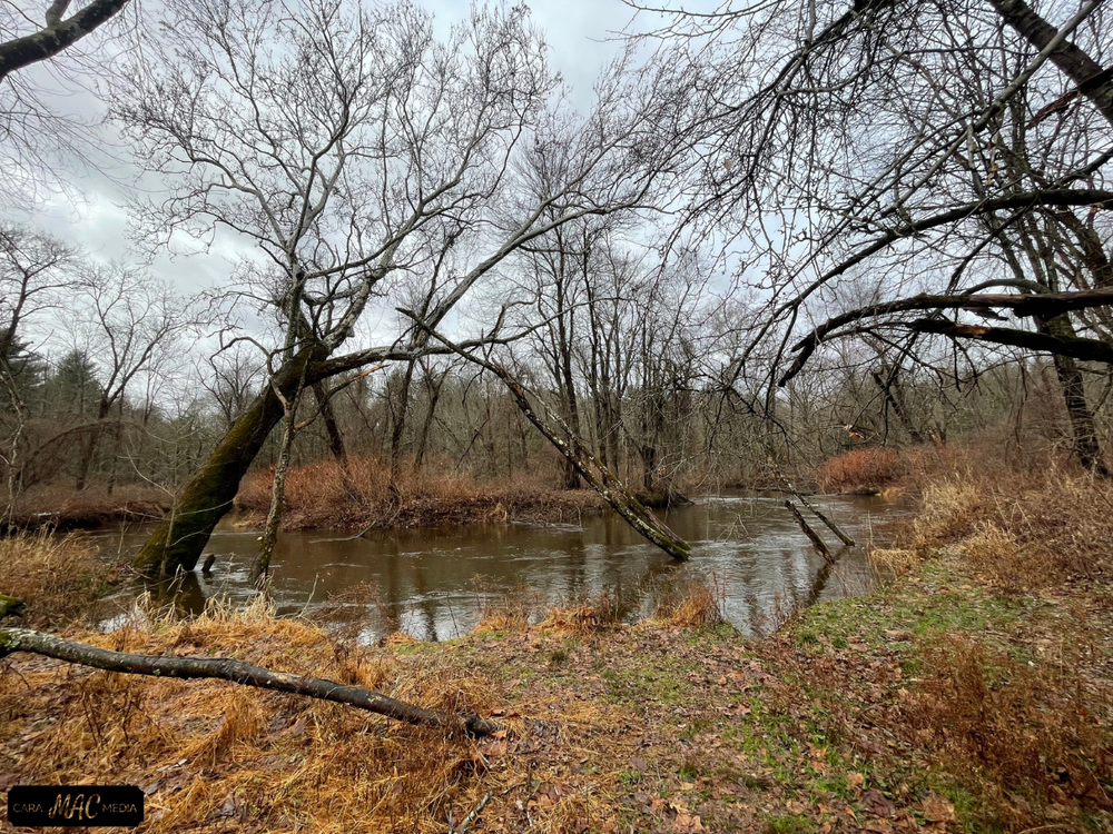
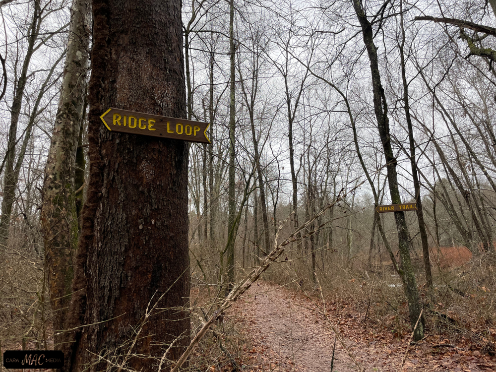
Scantic River State Park's Broad Brook section contains a trail network featuring the yellow-blazed River/Ridge Loop, which follows both an upland ridge in one direction and the Scantic River in the other direction. Be aware that it is subject to seasonal flooding. The forest consists of swamp maple, oak, tamarack, locust, sycamore, ash, and evergreen.
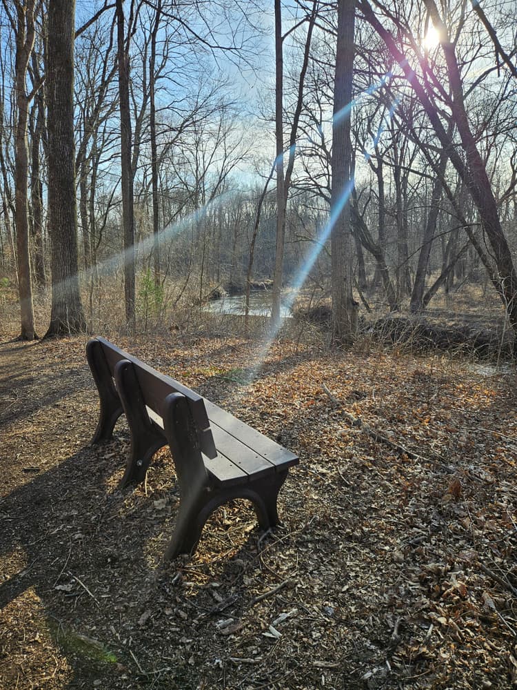
A separate trail, the Braille Trail, starts at the parking area, crosses a foot bridge, and continues for about 1/4 mile. The Braille Trail has many information signs along a fence in both English and Braille. The Braille trail fence ends at a scenic bench.
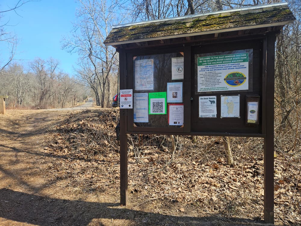
Scantic River State Park's trails are non-motorized multi-use, and provide opportunity for viewing the flora and fauna, from barred owls and herons to beavers and bobcats. Trails are both marked and un-marked, so use of a trail map is encouraged.
There are two other sections of the Scantic River State Park, Scitico & Somersville and Hazardville, and together the three parcels cover 600 acres across three separate towns in the Scantic River Watershed. Additional trails, river access, historic remnants from a former gunpowder factory, and more can be found in the additional sections.
Scantic River State Park was acquired to protect the open space flood plain which falls within the 100-year flood boundary while also providing recreational opportunities that complement the existing natural and historic features within the space.
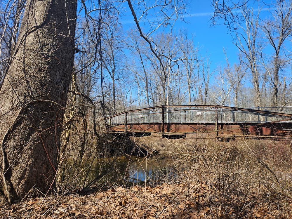
The bridge at the Melrose Road parking area was built in 1888 and is one of a few surviving 19th century lenticular pony trusses in Connecticut. Near the bridge, an owl sculpture stands guard over the Scantic River. She was created by local chainsaw artist Jared Welcome as a joint project between the East Windsor Arts and Culture Committee and American Heritage River Commission.
This park is managed by the following CT DEEP Park Headquarters:

The main parking area for the trailhead is at the end of Melrose Road in Broad Brook, CT.
Take Exit 45 for CT-140. Follow CT-140 east toward Warehouse Point/Ellington. After five miles, turn left onto Melrose Road and follow for one mile. The parking area is on the left at the end of the road.
Follow Main Street West and then take a slight left onto Park Street/Tolland Avenue/CT-140 West. Continue to follow CT-140 West for about 14 miles. Then, continue straight onto Melrose Road and follow for one mile. The parking area is on the left at the end of the road.
This trail is part of the 2025 Sky's The Limit Challenge!
Brought to you by the Connecticut Department of Energy and Environmental Protection (CT DEEP)
Success! A new password has been emailed to you.