From the Ridgefield Road entrance drive, a red-blazed trail makes a long loop covering the southern half of the parcel. The trail initially heads south and then turns to the east, passing through a forest of mature mixed hardwoods. Several specimen trees may be observed along this section of the trail. American beech, red oak and tulip poplar are some of the commonly occurring species.
The trail descends gradually passing through several small fern glades and eventually crosses Comstock Brook. After the crossing, the trail turns northward and parallels the brook. Near the northern property boundary, the trail crosses the brook once again. The return loop roughly parallels the lower part of the red trail. This trail is an interesting walk at any time of the year, though especially during the winter when the rock ledges are at their most dramatic.
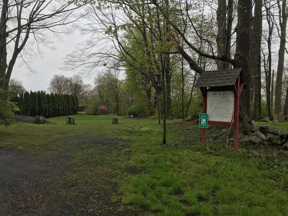
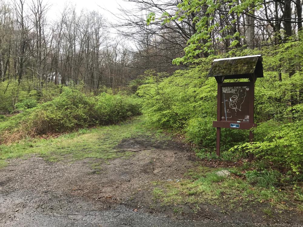
The red trail loop intersects a yellow-blazed trail. The yellow trail heads northward and becomes the main central trail connecting Ridgefield Road to Tanner's Drive. The trail passes by an abandoned tennis court where field flowers now grow. Species include goldenrods, asters and Queen Anne's lace.
A blue loop trail veers south off the yellow trail. the trail leads to a large clump of sweet fern. The trail network design makes either short or long hikes possible. The interconnected trails give visitors the option to select a route that meets their individual needs.
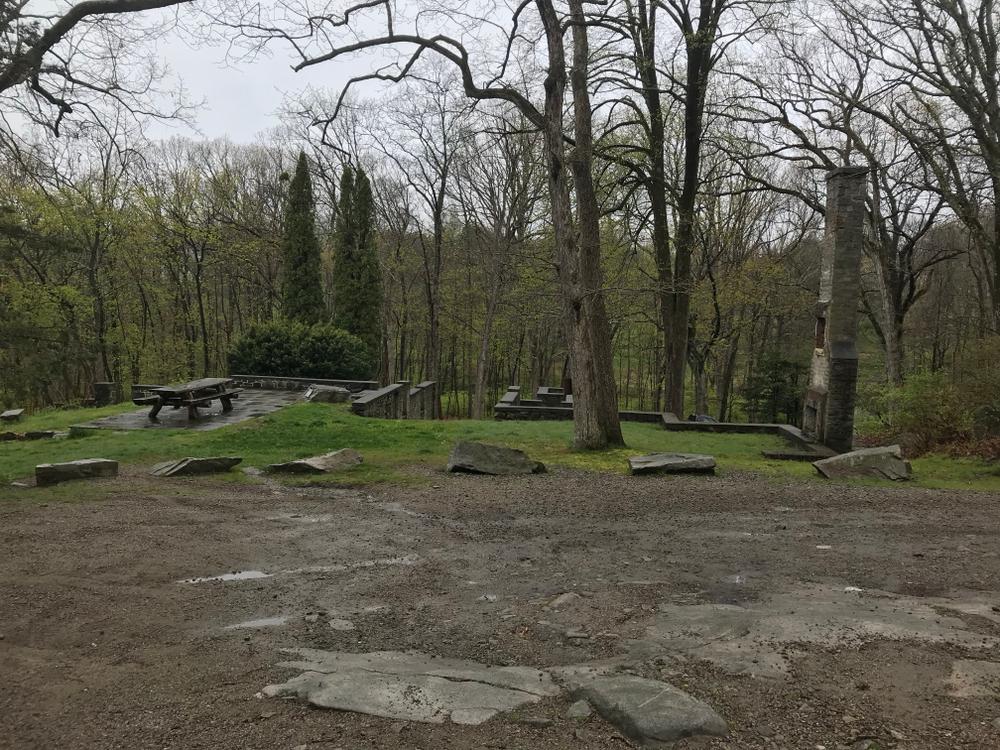
Visitors can readily see the evidence of the past residential use of the property with the preserved foundation and fireplace adjacent to the parking area. From here, Quarry Head offers visitors magnificent views to the south, and on a clear day, Long Island Sound is visible.
This park is owned by the State of Connecticut but is under the town of Wilton's jurisdiction. Additionally, credit must be given to volunteer caretakers Larry and Terry Goodwin for their restoration efforts and care of the park.
Refer to the Wilton Land Trust's Harrison Smith Preserve mapping for information on the Harrison Smith Preserve which lies directly adjacent to Quarry Head's southern boundary. The trail systems interconnect.
To report an issue on the trails, please use SeeClickFix (select Trails under Submit a Request).
Prior to its acquisition by the Town and State, the Degener family owned Quarry Head. The Degener's summered in Wilton from the late 1920's through 1988. The property's historical significance is having been the site of Wilton's most notable quarry. During the 18th century, the quarry produced millstones for grinding rye and corn in local grist mills. The quarry indirectly gave rise to the name Millstone Road in Wilton.
A stone originating from quarry Head was found to be cracked and discarded by the nearby road, which came to be called "the road by the millstone," is now known as Millstone Road. Quarry Head quarried gneiss in the 19th century for steps and foundations for buildings in the area. The Singer Sewing Machine Company in Elizabeth, New Jersey used Quarry Head stone for the sills and lintels in the factory. Quarry operations ceased at the turn of the century, but evidence of the quarrying can be noted by the slabs of gneiss with drill holes and the huge granite ledges that persist today.
From Wilton Center, go North on Route 33 (Ridgefield Road) for 3.6 miles. The park entrance is a narrow driveway between two houses (760 and 764 Ridgefield Road). An alternate parking area and entrance exists on Ridgefield Road just South of 704 Ridgefield Road.
An entrance exists on Keelers Ridge Road next to 18 Keelers Ridge Road. For this entrance, go North on Route 33. Turn Right onto Keelers Ridge Road from Ridgefield Road. Then entrance is 295 feet from the intersection, on the right. This entrance is street parking only.
An entrance exists on Tanners Drive. For this entrance, go North on Route 33. Turn Right onto Millstone Road. Take Millstone Road for 0.3 miles, turn right onto Tanners Drive. The entrance is at the end of the road, off of the cul-de-sac. This entrance is street parking only.
Success! A new password has been emailed to you.