Trailside Services are now part of CT Trail Finder!

Prospect Mountain Preserve

Prospect Mountain Preserve contains a 4.3 mile network of four trails, including North and South summits of Prospect Mountain, and a waterfront loop around Granniss Pond. 
Trail Activity
Hiking Walking
Length
4.5 miles, Network
Difficulty
Moderate, Advanced, Strenuous
Town
Litchfield
Surface
Rock/Ledge, Packed Earth/Dirt
Pets
Permitted on leash
Fees
No

Description

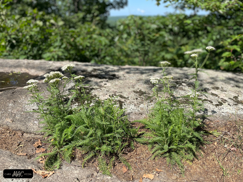
Prospect Mountain Preserve covers 340 acres and includes a network of trails of varying difficulty. 

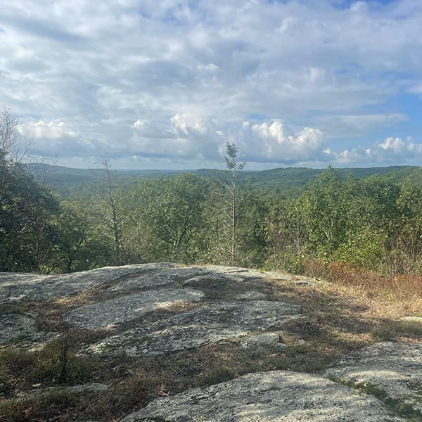
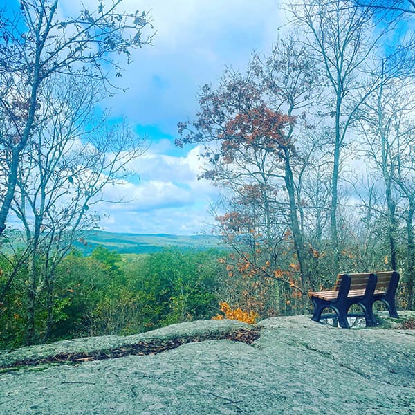
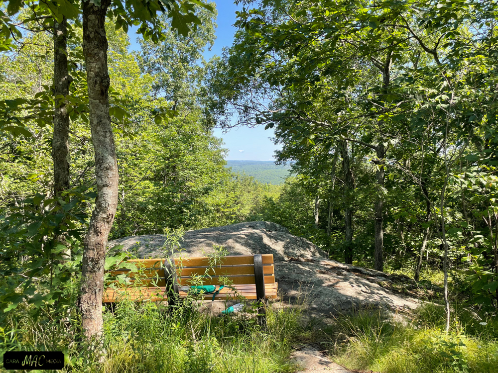
The Blue Trail (also known as the Dallett Hoopes Trail) is rated moderate/challenging as it includes a 400-foot gain to the summit, as well as some steep and rocky areas. This trail can be combined with the Yellow Trail to create a loop which crosses both the North and South summits. 

The Yellow Trail also moderate/challenging, diverges from the Blue trail at 0.1 mi from its eastern trailhead crosses seasonal wetlands and ascends steeply to meet the Blue Trail near the 1350 ft. summit.

The Red Trail (also known as the Granniss Pond Trail) is located west of Prospect Mountain Road, is relatively easy. It passes along the south shore of Granniss Pond then turns north, crossing a footbridge, below the pond along its western shore on a boardwalk. This loop trail continues on through a pine plantation, old stone walls, an old farm road, an old high meadow, and back down towards the pond’s eastern side. The last feature before completion of the loop is an old horizontal mine shaft opening and a pond overlook. 

The White Trail (also known as the Graham Thompson Trail) is of moderate difficulty, begins at Prospect Mountain Road, initially loops southeast, passing through wetlands and an old pine plantation, then recrossing the wetlands before turning sharply to the right and through barway. It continues in a northerly direction through mostly open forest of moderate inclines and descents. Finally, the trail bears more easterly, becoming steeper until it meets the Blue Trail near the South Summit.

Other Information

History

The area was subject to significant nickel mining explorations in the 1800’s. Most of the Prospect Mountain Preserve was acquired in 1983, largely through the efforts of Dallett Hoopes, a founder of the Litchfield Land Trust. The Blue Trail is named for him. The White Trail is named in recognition of Graham Thompson, also an early leader of LLT. The entire Prospect Mountain trail system is part of Connecticut Forest and Park Association’s (CFPA) statewide system of trails, and is jointly administered by CFPA and LLT.

RUles

  • Dogs are allowed on leash.
  • Stay on designated trails.
  • No motorized vehicles.
  • No fires, swimming, hunting or trapping.
  • Wear orange during hunting season.
  • Help keep the preserve clean—no littering or dumping.

Trail Manager

Litchfield Land Trust
P.O. Box 712
​Litchfield, CT 06759
860-361-9310
View website

Trail Tips

Dispose of Waste Properly
Bury solid human waste in a cathole 6-8 inches deep and at least 200 feet from water, a campsite, or trails. Don't forget to cover it up when you're done!
Legend
Hide All

Trailhead Information

Directions from Route 202

Coming from Litchfield, head west on Route 202 and turn north on either Cathole Road, or on Old Turnpike Road and then Prospect Mountain Road to access the various trails on Prospect Mountain

Trail Access

  • Cathole Road (1.7 miles north of Route 202) - Wide shoulder parking for 3-4 cars on the western side of Cathole Road. This is the eastern terminus of the BLUE trail.
  • Propsect Mountain Road - Pepper Spur Trailhead (2.4 miles north of Route 202) - Parking lot for 10+ cars on the east side of Prospect Mountain Road. A 0.2 mile YELLOW/RED spur trail connects this parking area to the YELLOW trail.
  • Propsect Mountain Road (1.7 miles north of Route 202) - Wide shoulder parking for 3-4 cars on the east side of Prospect Mountain Road. This is the western terminus of the BLUE TRAIL, and also provides access to the RED TRAIL which is directly across the street.
  • Propsect Mountain Road (1.1 miles north of Route 202) - Shoulder parking for 1-2 cars on the east side of Prospect Mountain Road. This is the western terminus of the WHITE TRAIL. 
Click on a parking icon to get custom directions
Please Log In or Create Account to add comments.
Add a Service
Find businesses and organizations that are located around this trail that support adventuring outdoors!
Legend
Hide All
Hide All
No services shown. Try zooming out.
Hang Tight!
Nearby services are loading
SHARE THIS TRAIL
PRINT THIS TRAIL

Add Trail Log

Please wait…
Join In on the Fun!
Log in or create an account below to unlock all the great features of Connecticut Trail Finder: keep track of trails you want to do, preserve memories of trails you’ve done, and more!
Your log in attempt was not successful. Please try again.
    Lost your password? Reset your password
    Don't yet have an account?
    There was an issue with your submission. Please try again.
      * Indicates required field
      Already have an account? Login here
      Enter your username, and we will send you a new, randomly generated password to your email account.
      There was an issue with your submission. Please try again.

        Success! A new password has been emailed to you.

        Log in now

        Please wait…