Over 2000 miles of trails on CT Trail Finder, and many more to come!

Mill Hollow Open Space

The Mill Hollow Open Space Area is approximately nine acres on the east side of the Mill River, just downstream of the Sturges Road Bridge. It is Fairfield's southern-most tract of riverside open space and is located within the tidally influenced zone of the river. 
Trail Activity
Hiking Walking
Length
0.4 miles, Loop
Difficulty
Easy
Town
Fairfield
Surface
Packed Earth/Dirt, Gravel/Crushed Stone, Grass, Boardwalk
Pets
Permitted
Fees
No

Description

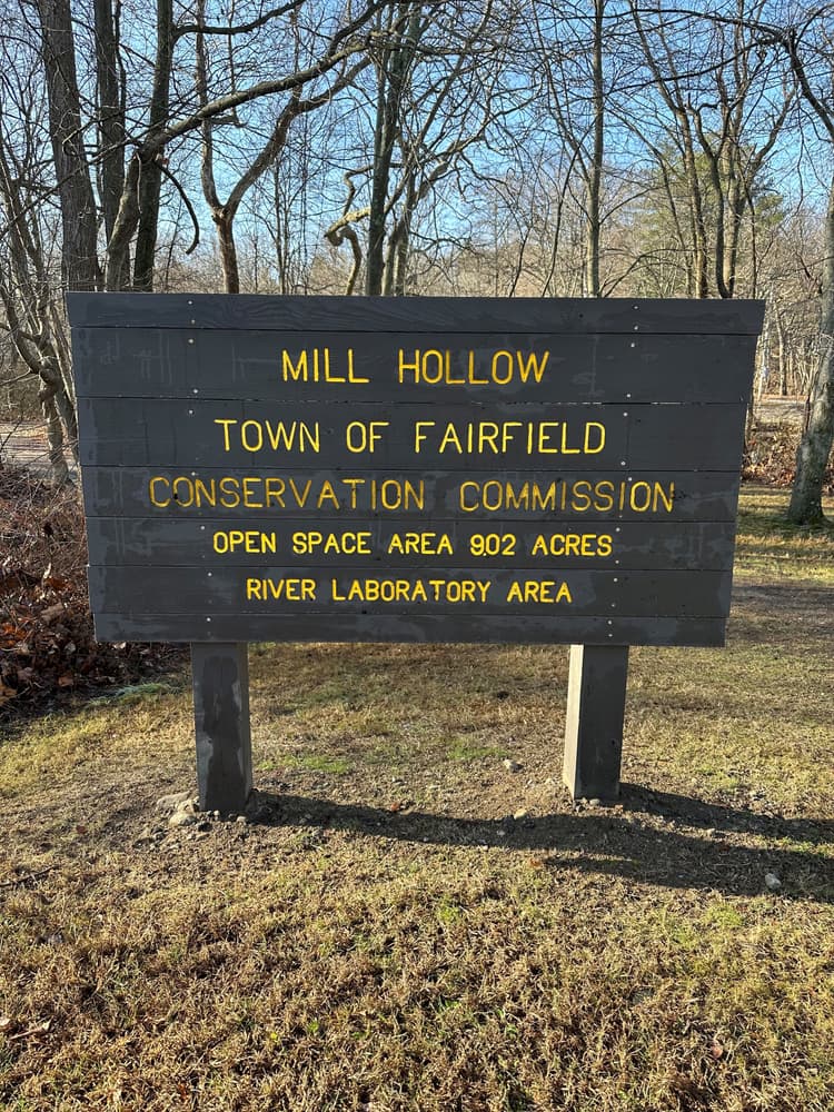
Mill Hollow trails offer visitors a chance to explore the open space while enjoying its rich history and natural beauty. A loop trail circles the interior pond, accessible from entrances at both the north and south ends. Along the east and west sides of the pond, where the terrain is wet, approximately 1,000 feet of boardwalk provide a stable path.

Extending from the Sturges Road Bridge in the north to the Colonial Ford in the south, the trail spans about 2,400 feet. Along the way, several short paths branch off to the Mill River's edge, popular with fishermen and birdwatchers alike.

History

This area holds historical significance dating back to Colonial times, as the Mill River Ford just south of the open space was a critical crossing on the Post Road between Boston and New York City. Historical records suggest that George Washington himself crossed the river here. In the late 19th and early 20th centuries, the area was home to a dog biscuit factory before the Town acquired the land in 1960. The deed ensures the land remains dedicated to public use, preserving its unique history and natural environment for generations to come.

Trail Manager

Town of Fairfield
Town of Fairfield
725 Old Post Road
Fairfield, CT 06824
(203) 256-3071
View website

Trail Tips

Dispose of Waste Properly
Keep Connecticut green and clean! Pick up trash, even if it's not yours. Leave soon-to-be trash like excess packaging, stickers, and twist ties at home.
Legend
Hide All

Trailhead Information

From I-95S to Parking Area

From I-95S, take Exit 21 and continue straight onto Sturges Road. Turn left onto Mill Hill Terrace and the parking area is on the left. Once parked, walk up Mill Hill Terrace, take a right on Sturges Road and cross the bridge. The Trailhead is on the right. 

From I-95N To Parking

From I-95N, take Exit 21 and turn left onto Mill Plain Road. After the I-95 underpass, turn left onto Sturges Road. Turn left onto Mill Hill Terrace and the parking area is on the left. Once parked, walk up Mill Hill Terrace, take a right on Sturges Road and cross the bridge. The Trailhead is on the right. 

Additional Roadside Parking

Both Trailheads also have limited roadside parking. The northern trailhead is along Sturges Road and the southern is along Unquowa Road at Somerset Avenue. 

Click on a parking icon to get custom directions
Please Log In or Create Account to add comments.
Add a Service
Find businesses and organizations that are located around this trail that support adventuring outdoors!
Legend
Hide All
Hide All
No services shown. Try zooming out.
Hang Tight!
Nearby services are loading
SHARE THIS TRAIL
PRINT THIS TRAIL

Add Trail Log

Please wait…
Join In on the Fun!
Log in or create an account below to unlock all the great features of Connecticut Trail Finder: keep track of trails you want to do, preserve memories of trails you’ve done, and more!
Your log in attempt was not successful. Please try again.
    Lost your password? Reset your password
    Don't yet have an account?
    There was an issue with your submission. Please try again.
      * Indicates required field
      Already have an account? Login here
      Enter your username, and we will send you a new, randomly generated password to your email account.
      There was an issue with your submission. Please try again.

        Success! A new password has been emailed to you.

        Log in now

        Please wait…