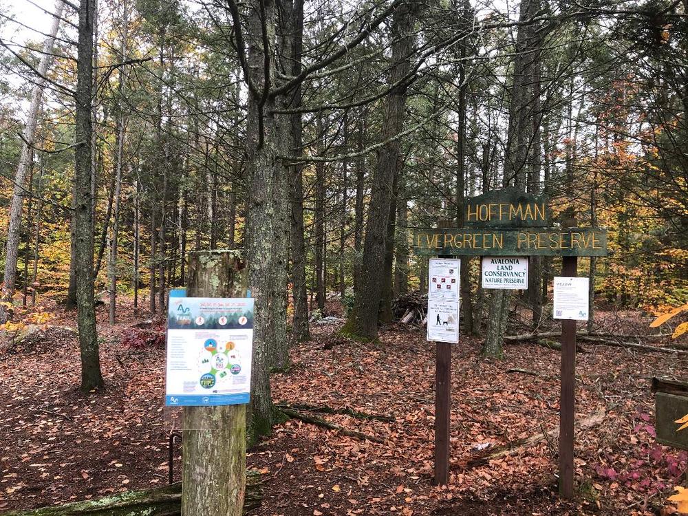
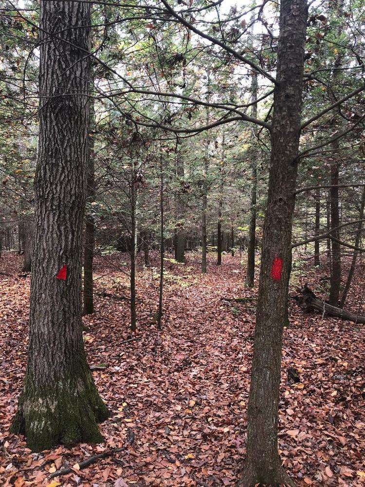
There is a single point of access to a matrix of trails that are all interconnected. These trails are marked with red, burnt orange, blue, and yellow trailheads. The total distance of all trails is approximately 4.25 miles with a 341 ft elevation gain. The diverse routes of the trails are marked throughout with various maps. It is important to note that the maps are a little outdated and do not include the burnt orange trail.
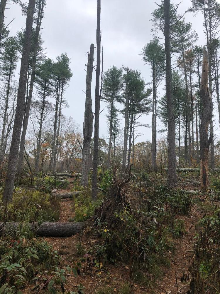
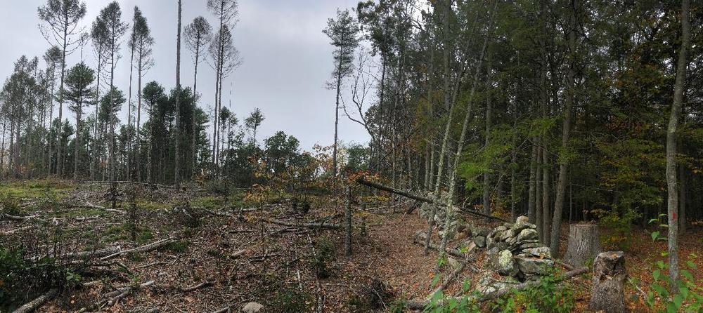
All of the trails were packed with earth and dirt with occasional pine needle debris. The trails offer beautiful scenery of evergreen and hardwood forests. A restoration project is underway to regenerate new growth and young forest patches where the old forest was dying due to disease drought, storm, and insect damage. Expect to see brush piles of cut tree limbs created for wildlife, in addition to areas of dense vegetation of re-growing habitat.
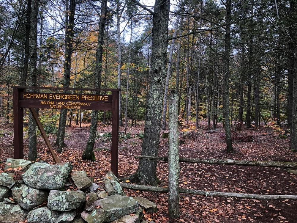
The area is crisscrossed by old stone walls, a colonial highway, and stone structures of questionable age. The preserve is located in the northern part of Stonington. It is not uncommon to see ground animals such as chipmunks, and squirrels. Deer, bobcats, and bears have also been observed. The width of the trails averaged as narrow as one to two feet to wide open.

Located on Route 201, approximately 2 miles north of CT Route 184 just before North Stonington line. Roadside parking at the signed trailhead.
Success! A new password has been emailed to you.