Trailside Services are now part of CT Trail Finder!

Hamlin Preserve

Hamlin Preserve is a moderate hike along vernal pools and a ledge loop that eventually connects to Mary Moore Preserve.
Trail Activity
Hiking
Length
2.0 miles, Network
Difficulty
Moderate
Town
Sharon
Surface
Packed Earth/Dirt, Rock/Ledge, Grass
Pets
Permitted on leash
Fees
No

Description

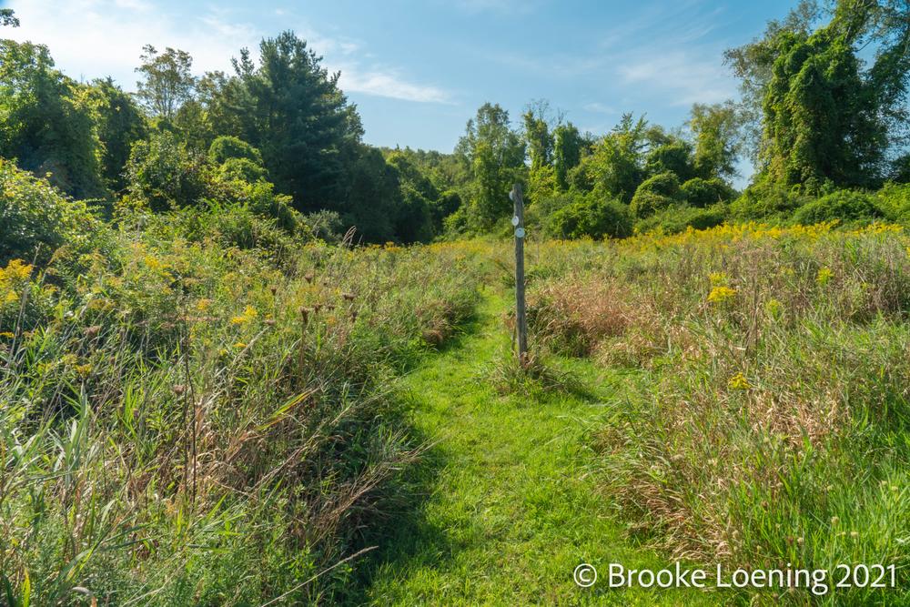
Hamlin Preserve winds along the forest edge to the upper reaches of Red Mountain, running through rock formations, over a headwaters stream, and along four vernal pools along the way.

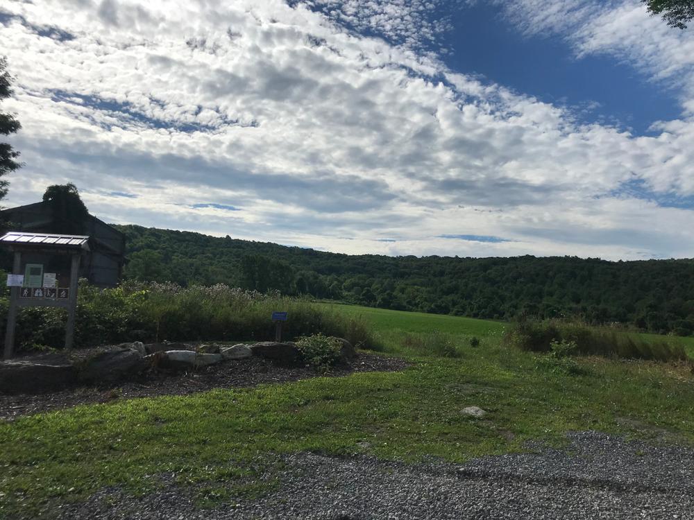
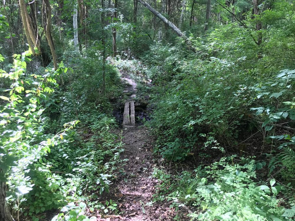
The northern end of the trail starts at the trailhead at Stonehouse Road, passing by the beautiful fields of Lion Rock Farm, to the north, and then crossing into the woods. It goes over a stream and then follows the old Stonehouse Road up the mountain.

Following through the Red Mountains will lead to an intersection where the Ledge Loop trail meets the main trail. The Ledge Loop trail, blazed orange, follows along the ridgeline of Hamlin, and back to the main trail. Here, the hike can continue on the white blazed Red Mountain trail, which goes through the woods of the Wike Brothers Farm conservation easement, and then leads to the northeast corner of the Mary Moore Preserve.

Other Information

Rules

  • Preserves are open from dawn to dusk.
  • Dogs must be kept on a leash.
  • Clean up after your pet!
  • Leave no trace: if you carry it in, carry it out.
  • Respect private property and stay on the trails.
  • Be wildlife aware: bears, snakes, ticks and insects are all part of our ecosystem!
  • Fires and camping are not permitted.
  • No motorized vehicles.
  • Hunting is by permission and permit only.
  • Mountain biking is prohibited.
  • No equestrian use at this preserve.

For more information, visit the Sharon Land Trust's website.

Trail Manager

Sharon Land Trust
Sharon Land Trust
P.O. Box 1027
Sharon, CT 06069
860-364-5137
View website

Trail Tips

Respect Wildlife
Avoid unwanted animal guests: store your food and trash securely and keep your camp clean of crumbs and spills.
Legend
Hide All

Trailhead Information

Park at the end of Stonehouse Road, adjacent to the barn, off Route 41 about 3.1 miles north from Sharon center.

Click on a parking icon to get custom directions
Please Log In or Create Account to add comments.
Add a Service
Find businesses and organizations that are located around this trail that support adventuring outdoors!
Legend
Hide All
Hide All
No services shown. Try zooming out.
Hang Tight!
Nearby services are loading
SHARE THIS TRAIL
PRINT THIS TRAIL

Add Trail Log

Please wait…
Join In on the Fun!
Log in or create an account below to unlock all the great features of Connecticut Trail Finder: keep track of trails you want to do, preserve memories of trails you’ve done, and more!
Your log in attempt was not successful. Please try again.
    Lost your password? Reset your password
    Don't yet have an account?
    There was an issue with your submission. Please try again.
      * Indicates required field
      Already have an account? Login here
      Enter your username, and we will send you a new, randomly generated password to your email account.
      There was an issue with your submission. Please try again.

        Success! A new password has been emailed to you.

        Log in now

        Please wait…