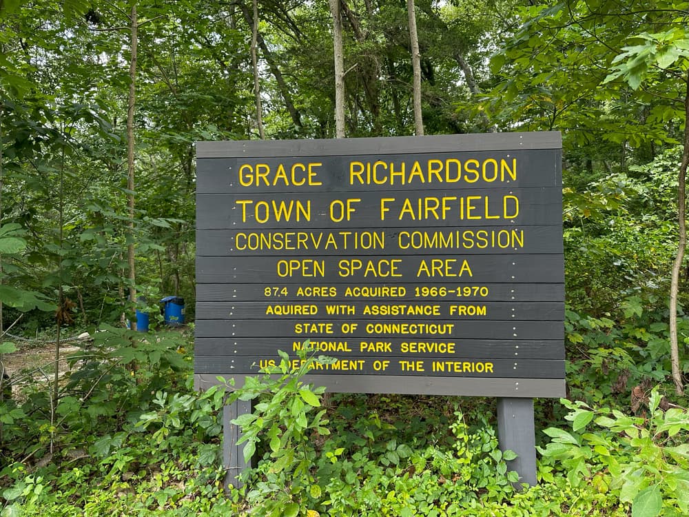
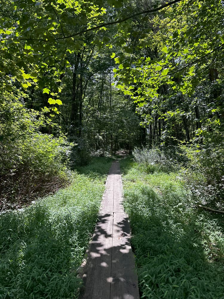
Grace Richardson Conservation Area’s trails provide opportunities for hiking, horseback riding, and cross-country skiing as well as opportunities for viewing the area’s diverse topography and environmental features.
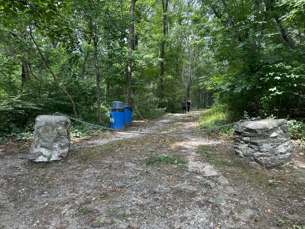
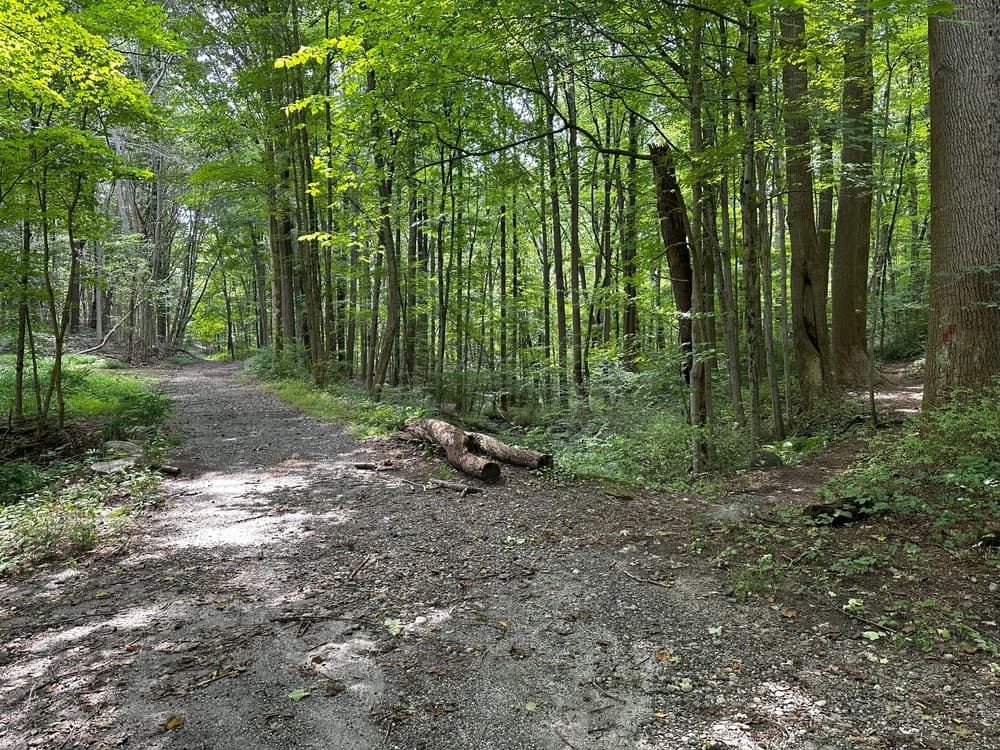
The trails generally follow the contours of the land, paralleling the ridges and ravines. The old farm road that once led to the farmhouse and barn in the north-central part of the conservation area now serves as the main access trail. The North Pond is reached after walking about 1,000 feet along the main trail from its beginning near the intersection of Congress Street and Morehouse Highway.
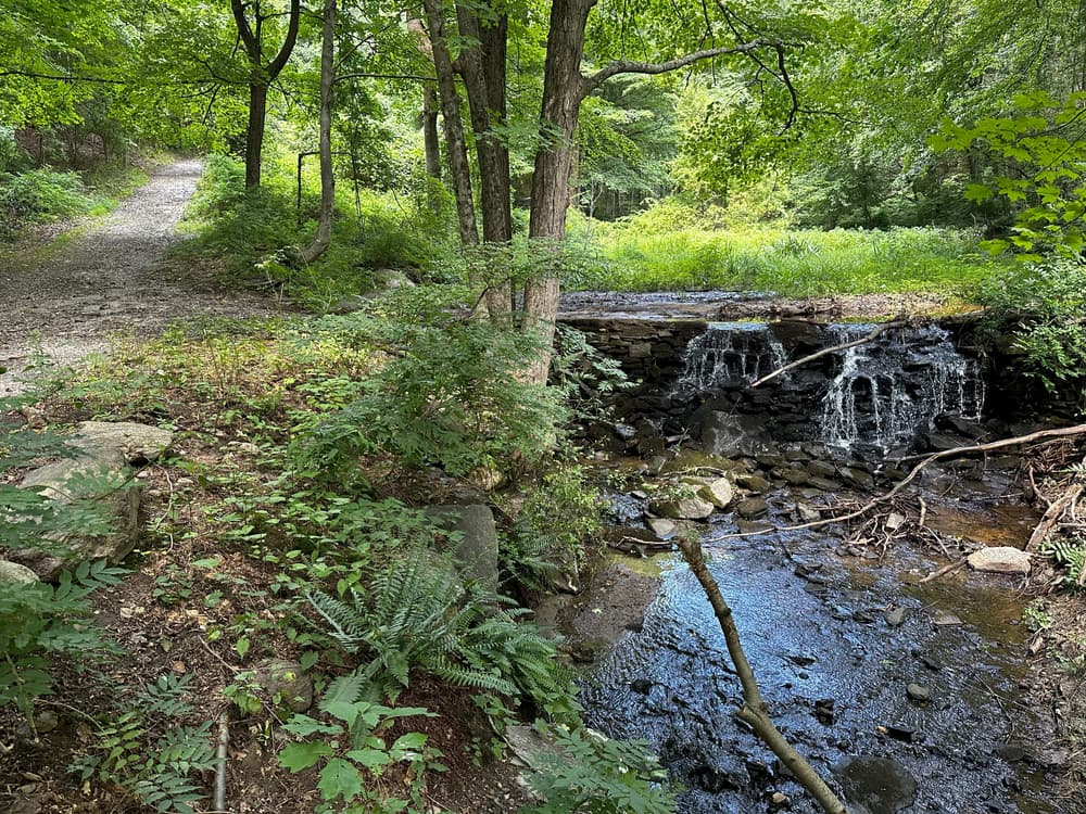
From the pond, there are several trail choices. Continuing along the old farm road leads you to the Farmstead Field where the farmhouse and barn once stood. Walking east just before the pond, the trail leads to a small open area on higher ground and then to a trail that follows the eastern drainage corridor to the north and eventually loops around to the other side of the ravine. To the west of the pond is the entry to a more extensive and complicated trail system that covers the southern and western parts of the conservation area.
Trail surfaces are highly variable and include bare mineral soil, wet or moist soil, loose gravelly surfaces, ledge outcrops, and grassy areas. The degree of difficulty depends on topographic conditions, and some areas are quite steep.
The Yellow Trail (about 1.8 miles long) generally follows the perimeter of the conservation area and the red trail (about a ½-mile long) makes a shorter inner circle. Please stay on the marked trails to help preserve the forest and meadow habitats for the enjoyment of other hikers.
The Trailhead is located at the intersection of Congress Street and Morehouse Highway on the east side of Hoyden's Hill Road.
Success! A new password has been emailed to you.