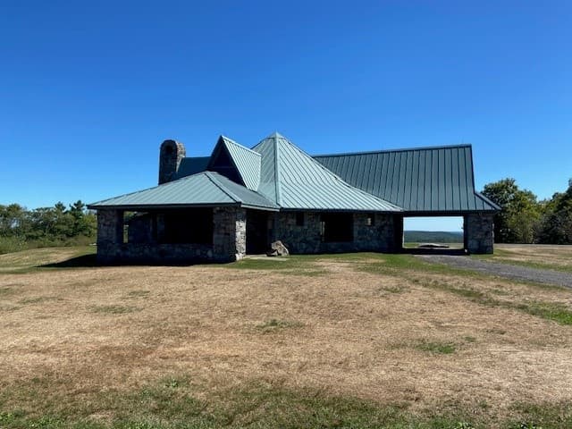
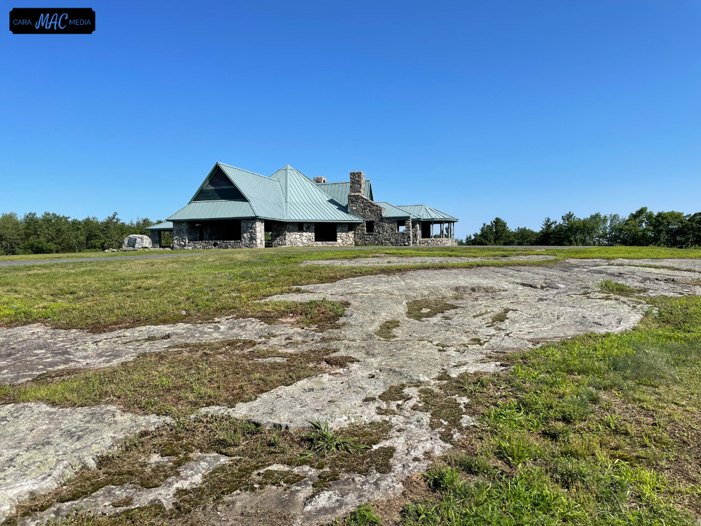
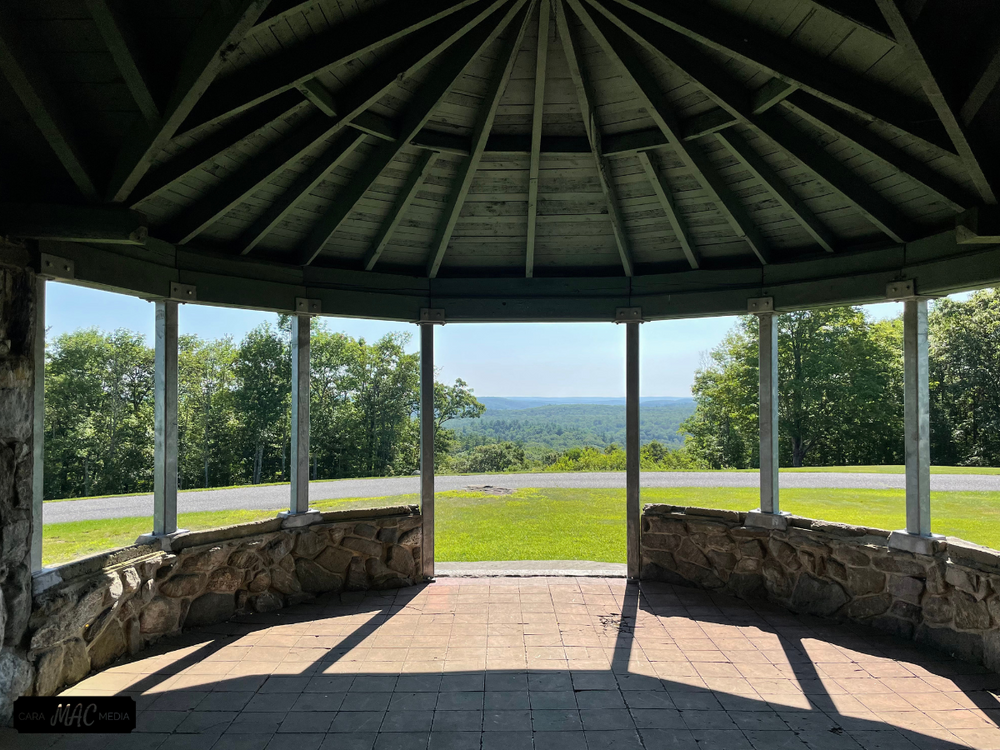
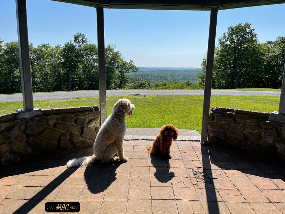
The gently sloping Summit Road can be hiked all year and leads to the top of Dennis Hill, which can also be reached by car from late April to early November. On the summit, a pavilion which formerly served as a summer residence and then a World War II lookout still stands as a landmark and a shelter from which to view the landscape or have a picnic. On a clear day, Haystack Mountain, Mount Greylock, the Green Mountains of Vermont, and even parts of New Hampshire may be visible.
Where the road bends to the right, the Yellow Trail begins. Look for a low outcrop below a stone wall. A continuation of the Yellow Trail, the Gazebo Loop Trail circles through the northeast corner of the park, with another picnic shelter near the eastern border.
About half way between where the Yellow Trail branches off and where the Gazebo Loop Trail starts, the White Trail connects the Yellow Trail back to the Summit Road.
NOTE. This park does not have winter maintenance. There is winter parking at the entrance, but Summit Road might be inaccessible by vehicle. The park will reopen to vehicular traffic around April 1st weather permitting.
The open air picnic shelters can be reserved via the Reserve.America website or by phone 1-877-668-CAMP (2267). The pavilion and composting toilet are not handicap accessible.
Dennis Hill is an ancient volcano made up of some of the oldest rocks in the state. It is located within the Blackberry River, Housatonic River, and Farmington River watersheds, directing water into all three.
The estate is 240 acres in size. It was gifted to the State of Connecticut by New York surgeon Dr. Frederick Shepard Dennis in 1935.

From I-91, take Exit 32B for Route 44 towards Norfolk. In Norfolk, turn south onto Route 272/Litchfield Road for about 2.5 miles. The park entrance is on the left.
This trail is part of the 2025 Sky's The Limit Challenge!
Brought to you by the Connecticut Department of Energy and Environmental Protection (CT DEEP)
Success! A new password has been emailed to you.