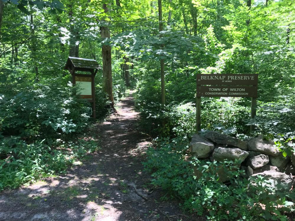
Many features of the preserve still clearly reflect Wilton's agricultural past. A short access trail connects to the blue blazed loop trail. Turning north, downhill, the loop trail passes through a wetland system. An impressive group of "wolf" trees, large broad-crowned, excessively branchy trees provides abundant cover. Following the loop trail counter-clockwise, rolling open woodlands dominate. The trail passes through former fields experiencing different stages of forest succession.
Eastern red cedar, hickory, sassafras, and other sun-tolerant trees are filling in the former fields. Woodland grasses carpet much of the sunny forest floor. Grey and black birch, red maple and oak trees occur throughout the more established woodlands. The southwest corner of the preserve provides a dramatic westward view of the Mayapple Brook valley and beyond into Gregg Preserve.
Continuing on the loop trail, the woodlands brighten into areas that are still maintained as open fields. The tall grasses provide habitat for insects and bird species that prefer open meadows. The fields gently slope down to a wetland system at the eastern boundary of the property.
A small stream runs through the wetland and connects to Mayapple Brook south of the property. At the base of the slope, before you reach the stream, the trail turns into a wooded wetland and heads north and up a rocky ridge. From high on the ridge, especially in the spring and early summer, frogs can be heard from the pond below. Stonewalls dominate the property. Here, there are additional connecting trails within Gregg Preserve.
To report an issue on the trails, please use SeeClickFix (select Trails under Submit a Request).
Take route 7 north for 2.6 miles to Honey Hill Road on the right (east). Follow Honey Hill Road 0.7 miles to Wampum Hill Road. Turn right (south) and entrance is 200 feet on the right. Also from trails within the Gregg Preserve to the west.
Success! A new password has been emailed to you.