Trailside Services are now part of CT Trail Finder!

River Park

This is the print view for this trail. View the full trail posting.

River Park contains a field and forest along a multi-use field, and a wheelchair accessible boat launch at an easy flat-water section of the Willimantic River Greenway's Midriver Trail.
Trail Activity
Accessible Experience Hiking Cross-country skiing Paddling
Length
0.4 miles, Network
Difficulty
Easy, Moderate
Town
Mansfield
Surface
Packed Earth/Dirt, Rock/Ledge, Boardwalk
Pets
Permitted on leash
Fees
No

Description

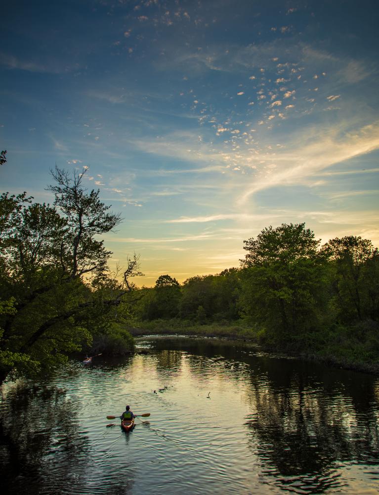
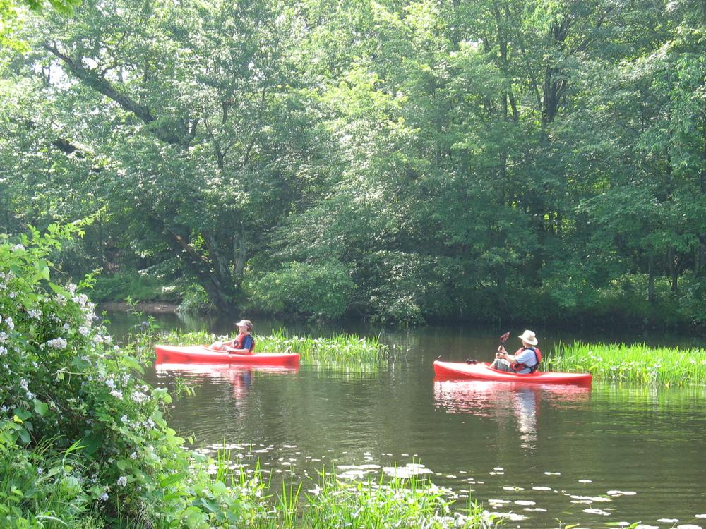
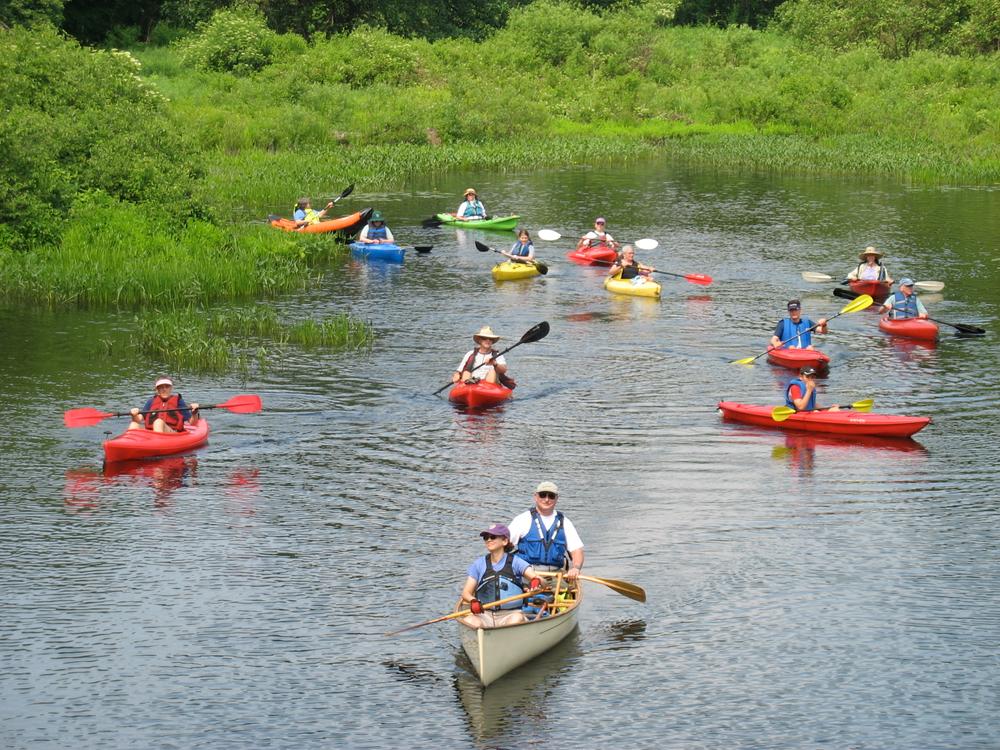
The slow current section of the Willimantic Mid-River Trail, makes this an ideal spot to canoe or kayak during normal river conditions. 

The multi-use recreation field can be used for picnicking, throwing a Frisbee or flying a kite. At the north end of the field is a wooded trail that connects to the Quinn property. The Quinn property is a private property that the Quinn family has given the public partial access to. Stay on the marked trails and do not wander onto the private property. Following the Quinn trail to Helen Clark Lane to Lynch landing will lead to a peaceful view of the river. 

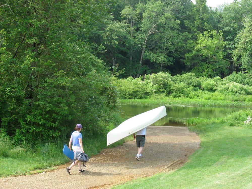
Kayak and standup paddle boards are available for rent at the Mansfield Community Center located at 10 South Eagleville Road. For more information, visit the Mansfield Community Center website or call 860-429-3015 x0.

Other Information

Rules

  • Enjoy the park from dawn to dusk.
  • Mountain biking and swimming are not permitted.
  • Keep pets on a leash and clean up after them.
  • Respect private property rights.
  • Stay on the trails. Pack out what you pack in.
  • Consumption of alcohol is prohibited.
  • Do not light fires.
  • Hunting is prohibited.
  • Riding horses is prohibited.
  • Motorized vehicles are prohibited.
  • Removal of any plants is prohibited.

For more information, see Mansfield’s Parks Rules and Regulations.

Trail Manager

Town of Mansfield
4 South Eagleville Road
Storrs, CT
860-429-3335
http://www.MansfieldCT.gov/ParksandPreserves

Trail Tips

Plan Ahead and Prepare
Find out about and follow any local regulations and respect landowners’ property.

Trailhead Information

Directions

From the intersection of Route 44 and Route 32, travel south on Route 32 for 0.35 miles. Turn right onto Plains Road and travel 0.2 miles. Parking is on the right after the railroad tracks.

Legend
Hide All
Join In on the Fun!
Log in or create an account below to unlock all the great features of Connecticut Trail Finder: keep track of trails you want to do, preserve memories of trails you’ve done, and more!
Your log in attempt was not successful. Please try again.
    Lost your password? Reset your password
    Don't yet have an account?
    There was an issue with your submission. Please try again.
      * Indicates required field
      Already have an account? Login here
      Enter your username, and we will send you a new, randomly generated password to your email account.
      There was an issue with your submission. Please try again.

        Success! A new password has been emailed to you.

        Log in now

        Please wait…