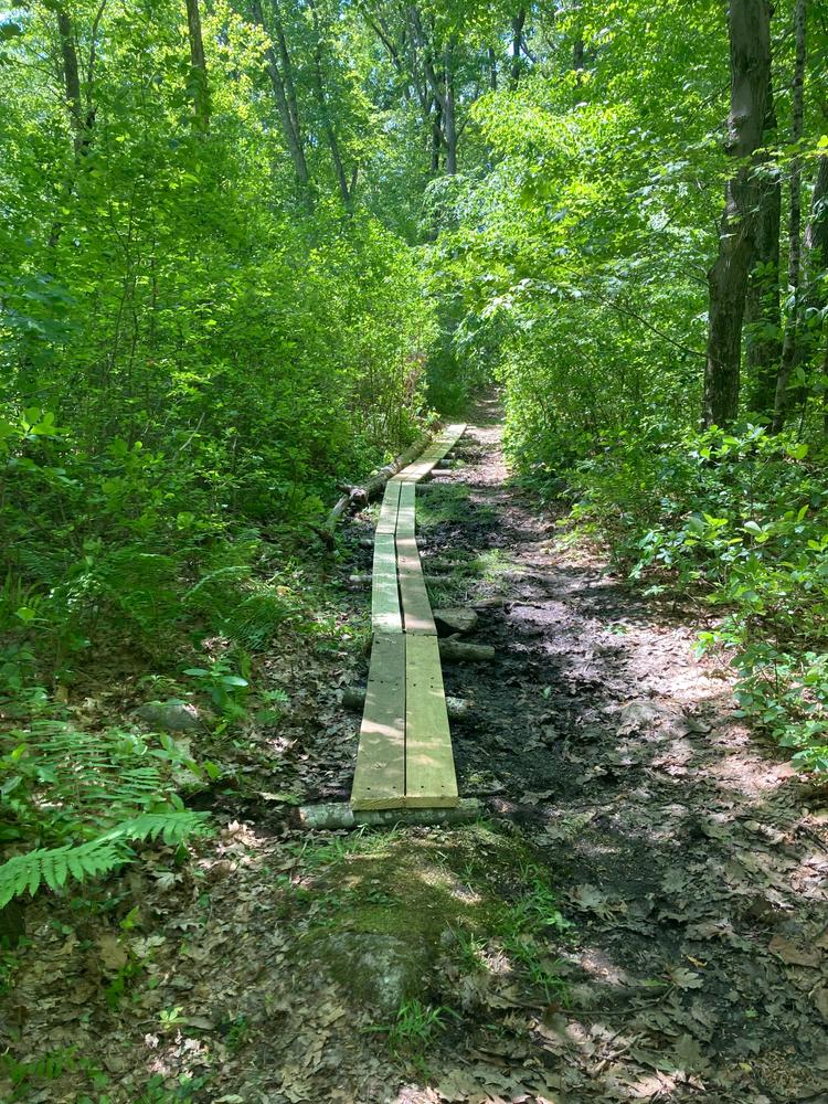
This 1.2 mile looped trail system meanders through an upland oak-hickory forest with a small stand of white pines and wetlands located throughout. Portions of the trail run alongside Fox Brook, as well as a small pond.
Bog logs are in place to help hikers traverse wet areas on the trail. Due to flooding near the beaver pond, the trail connecting the western bridge on the south side to the Orange trail is not passable. Hikers can still access the bridge from the north side of the brook but will need to turn around on the bridge and return by that same path.
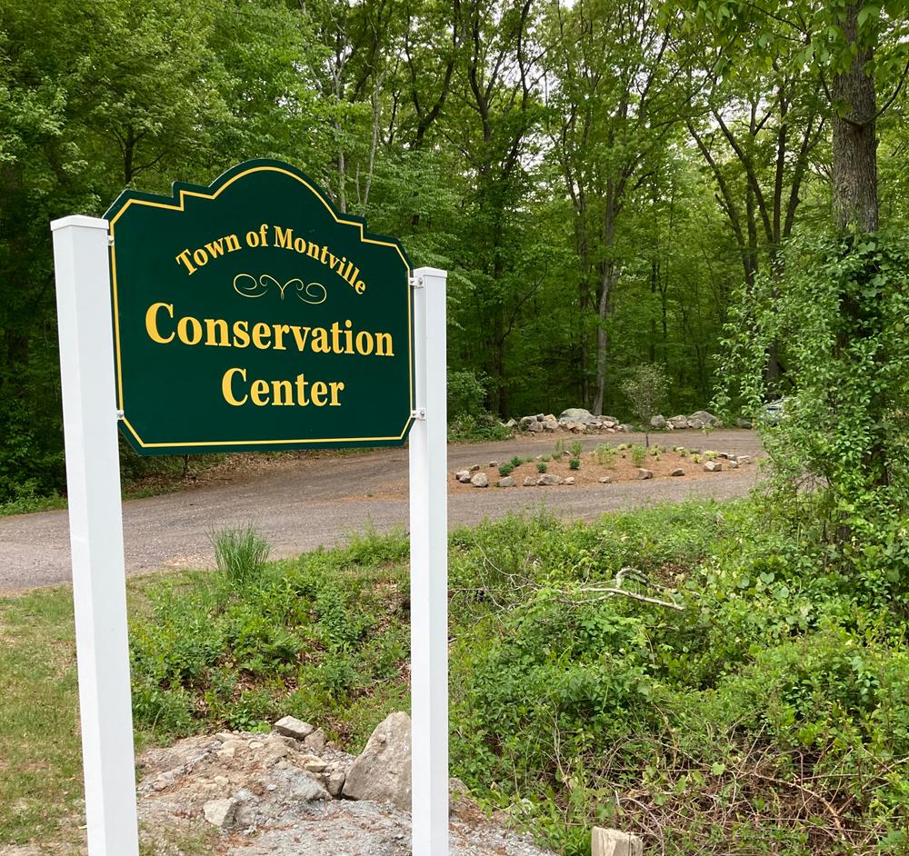
From I-395, take Exit 6 (Old Exit 79). Turn right onto Route 163 towards Oakdale. Travel approximately 2.5 miles, then turn left onto Chesterfield Road (opposite town landfill). Continue for 0.5 miles to the intersection of Chesterfield Road and Old Colchester Road. Stay straight through the intersection. The Conservation Center entrance is almost directly across from the Montville High School entrance on Chesterfield Road.
Take Route 2 towards Colchester and take Exit 19 towards onto Route 11. Turn left off the ramp onto Route 82 and turn right (south) at the traffic circle onto Route 85 South. Go 3.8 miles to Chesterfield four corners (firehouse and traffic light). Turn left onto Chesterfield Road. After approximately 4 miles the Conservation Center entrance is almost directly across from the Montville High School entrance on Chesterfield Road.
The Nature Center Entrance offers parking for 6-8 cars. It can be reached via I-395 or via Route 2.
Success! A new password has been emailed to you.